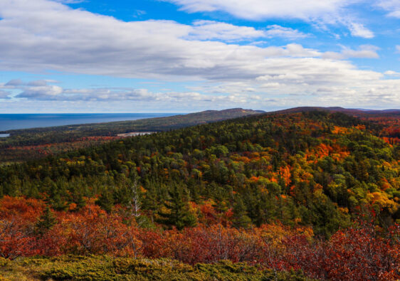
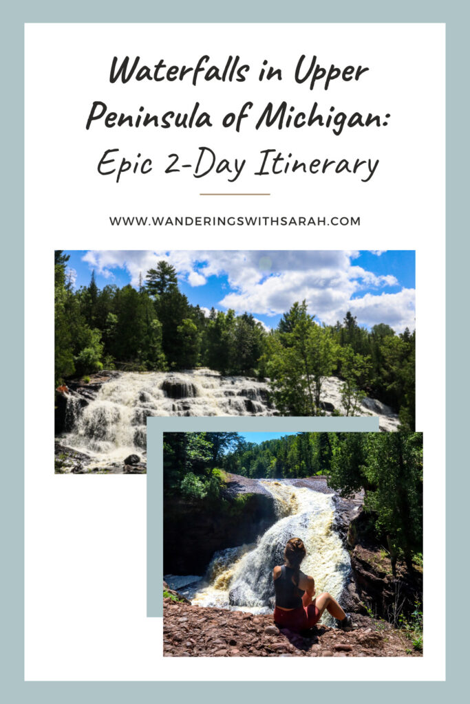
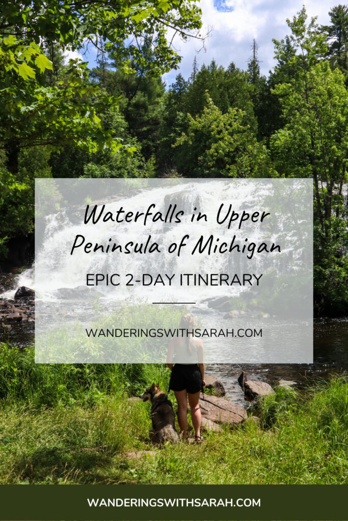
With 300+ falls to explore, chasing waterfalls in the Upper Peninsula of Michigan needs to be your next adventure. This 2-day itinerary will take you to roadside stops and hiking through the woods to 11 beautiful waterfalls.
We started in Ironwood, Michigan, and then stopped at all the waterfalls along US-2 as we headed east to Escanaba. The first day was focused in Ironwood along the Black River Scenic Byway. For our second day, we explored waterfalls along the Michigan and Wisconsin border. We also stopped at waterfalls near US-2 as we drove from Ironwood to Escanaba.
All the waterfalls we visited had dog-friendly trails and required 1.5 miles or less of hiking.
Table of Contents
- Guide to Chasing Waterfalls in Upper Peninsula
- Black River Scenic Byway
- Superior Falls
- Saxon Falls
- Interstate Falls
- Kakabika Falls
- Bond Falls
- Fumee Falls
- Map of Waterfalls in Upper Peninsula of Michigan
Guide to Chasing Waterfalls in Upper Peninsula
What’s the Best Season for Waterfalls in the Upper Peninsula of Michigan?
The official answer is all of them. To help you narrow down your choice a little, find what makes each season distinct for waterfalling below. I went to all the waterfalls in this itinerary in the summer, but I’ve seen beautiful views from all seasons.
- Spring: Snowmelt means more water in the rivers and better waterfalls. There are many pine trees in this area, but all other trees will still be bare.
- Summer: There’s nothing better than chasing waterfalls on a hot summer day. It is best to go after rainfall in the summer to ensure that waterfalls are flowing.
- Fall: Fall waterfalls in the Upper Peninsula of Michigan offer everything that summer does but with a backdrop of reds, oranges, and yellows. Fall rains should keep the rivers flowing, but watch out for any cold fronts moving through the area. Snowy weather can come early in the fall.
- Winter: Winter waterfalls are so underrated. Snow and ice will form over many of these waterfalls, with water still flowing underneath. I’d recommend going in early winter before the peninsula is buried in snow, when the water flowing will still be visible and roads will be easier to travel.
Packing List
If you stay in the area, I’d recommend Ironwood. We camped at Black River Harbor Campground, but there are many other places in the area to stay, both campgrounds and hotels. To make sure you pack all the right supplies for tent camping, check out my free packing list here.
Hiking Gear List and Recommendations
- Sling Bag (I use this one here* from Kavu)
- Water Reservoir
- 10 Essentials (list linked here)
- Hiking Boots (I love these here from Columbia)
- Hiking/Camp Sandals (Check out these here* from Chaco)
*this signifies an affiliate link. You can read more about what this means here.
Leave No Trace Principles
As many of the state park signs in the Upper Peninsula say, take only pictures and leave only footsteps. Make sure to pack out all your trash and don’t deface any rock formations. For more on the 7 principles of leave no trace, visit this website here.
Waterfall Photography
If you want to capture the best photos of waterfalls in the Upper Peninsula of Michigan, you’ll want to be prepared. Whether you’re using your phone or your camera, you will probably have to lower the brightness to get a clear picture of the waterfall.
For a long exposure photo of one of these waterfalls, you’ll want a steady hand or a tripod. On an iPhone, you can take a live photo and change it to a long exposure in your gallery. For a camera long exposure, read more about how to do it here.
Black River Scenic Byway
If you’re in the Ironwood area, you must explore the Black River Scenic Byway. This route follows the Black River to where it feeds into Lake Superior, with stops to hike to all the waterfalls along the way. All these stops were made on our first day of waterfall chasing.
Rainbow Falls
Rainbow Falls is a stunning waterfall that drops 30 feet into the Black River. This waterfall was one of my favorites along the Black River Scenic Byway. However, there are two different access points for this waterfall. Most images you’ll see online are from the second trail listed below. The traditional overlook will take you down beside the falls but doesn’t offer as good of a view.
Rainbow Falls Overlook Trail
On Black River Road, a sign for Rainbow Falls will take you to this trailhead. A short trail and a few flights of stairs will take you down next to the falls. You can feel the mist from the falls in your face and see downstream along the river. However, this view wasn’t my favorite of the two options. It’s also not the one you’ll see featured online.
Trail Stats
- Distance: 0.4 miles
- Elevation Gain: 101 feet
- Route Type: Out and Back
- Difficulty Rating: Moderate
- Notes: lots of steps, not best view of falls
Black River to Rainbow Falls Trail
To see a clearer view of Rainbow Falls, you’ll want to take this route. You’ll park at the Black River Harbor Pavilion. A day pass is $5 unless you have an America the Beautiful pass. Take the trail across the iconic Black River Harbor Suspension Footbridge and a sign will direct you towards Rainbow Falls.
Once you get to the falls, you can walk alongside it and see it from several angles across the gorge. This trail is part of the North Country Trail, and it continues downstream if you’re looking for more views. Personally, I preferred this viewpoint, but it was worth seeing both perspectives.
Trail Stats
- Distance: 1.5 miles
- Elevation Gain: 190 feet
- Route Type: Out and Back
- Difficulty Rating: Easy
- Notes: best view of falls
Sandstone Falls
The trail to Sandstone Falls is an easy one until the flights of stairs down to the bottom. After tackling the stairs, you can walk out onto the rocks to get a good view of Sandstone Falls. The waterfall only drops about 15 feet and is the most underwhelming of the 5 waterfalls along the Black River Scenic Byway. Regardless, it’s still worth tackling the stairs, and the rocks down at the riverbed are easy to explore if you want to get a different view.
Trail Stats
- Distance: 0.3 miles
- Elevation Gain: 108 feet
- Route Type: Out and Back
- Difficulty Rating: Easy
Potawatomi Falls and Gorge Falls
You get two waterfalls for the price of one here. A designated road will take you off of Black River Road and you can park at the trailhead for either falls to do this loop trail. We parked near Potawatomi Falls and started there. Potawatomi Falls drops 30 feet into the river below across the rock face.
If you head towards Gorge Falls, you’ll pass two overlooks that are closed (as of 7/22). Some people mistake these for the Gorge Falls overlook but continue on. The overlook was open when I was there. Gorge Falls looks exactly like it sounds, falling 20 feet down through a narrow gorge formation.
Trail Stats
- Distance: 0.5 miles
- Elevation Gain: 52 feet
- Route Type: Loop
- Difficulty Rating: Easy
Great Conglomerate Falls
Great Conglomerate Falls can be accessed by way of Black River Road or a longer trail that starts near Potawatomi Falls and goes upstream. The longer route is closer to 2.5 miles and is more challenging. We were short on time, so we opted to take the direct route. The trail winds through the woods and doesn’t have several flights of stairs to the viewing platform like the rest of the falls.
This striking waterfall splits around a section of conglomerate rock, falling 20 feet on either side. This waterfall is so wide it’s hard to see it all at once, let alone capture it on camera.
Trail Stats
- Distance: 0.75 miles
- Elevation Gain: N/A
- Route Type: Out and Back
- Difficulty Rating: Easy
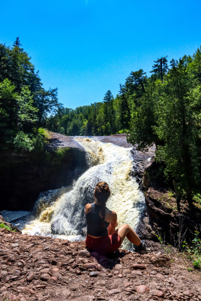
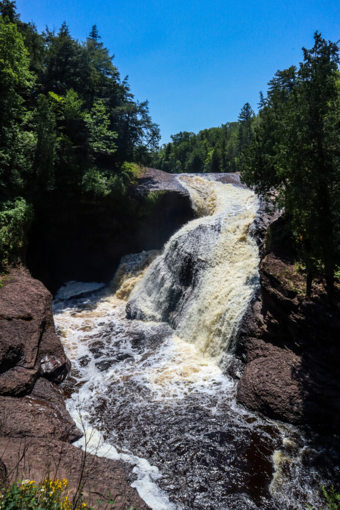
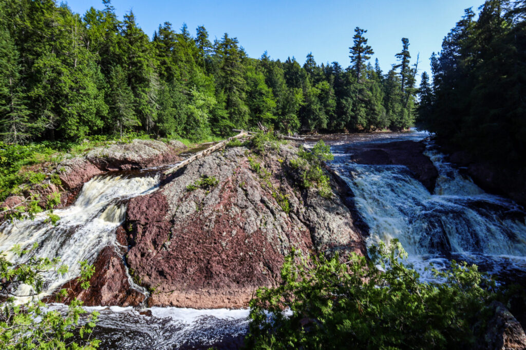
Superior Falls
We began our second day of waterfall hunting with Superior Falls. This waterfall sits on the border between Michigan and Wisconsin, dropping 90 feet as the Montreal River flows into Lake Superior. The trailhead is near a power plant, and the trail takes you down a very steep path to the bottom. There’s a chain railing, but I’d recommend good shoes and even a walking stick to make this trail easier. However, I was able to do it in hiking sandals.
The trail will take you down to the bottom, where you can view the waterfall from across the river. If you’re careful, you can climb around the rock to get a view of the cliff face to the left of the falls and a better perspective of the waterfall itself.
Trail Stats
- Distance: 0.7 miles
- Elevation Gain: 68 feet
- Route Type: Out and Back
- Difficulty Rating: Easy
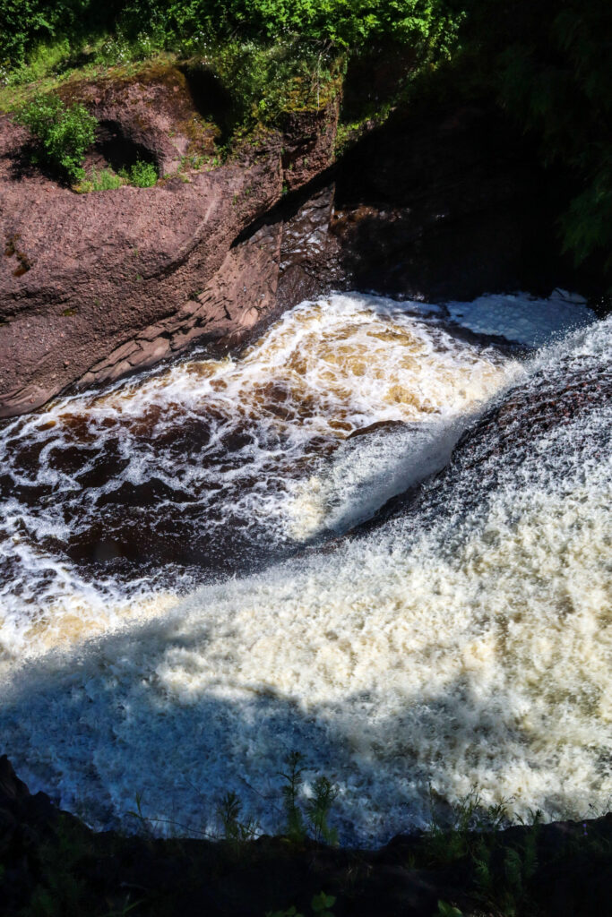
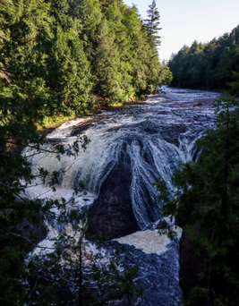
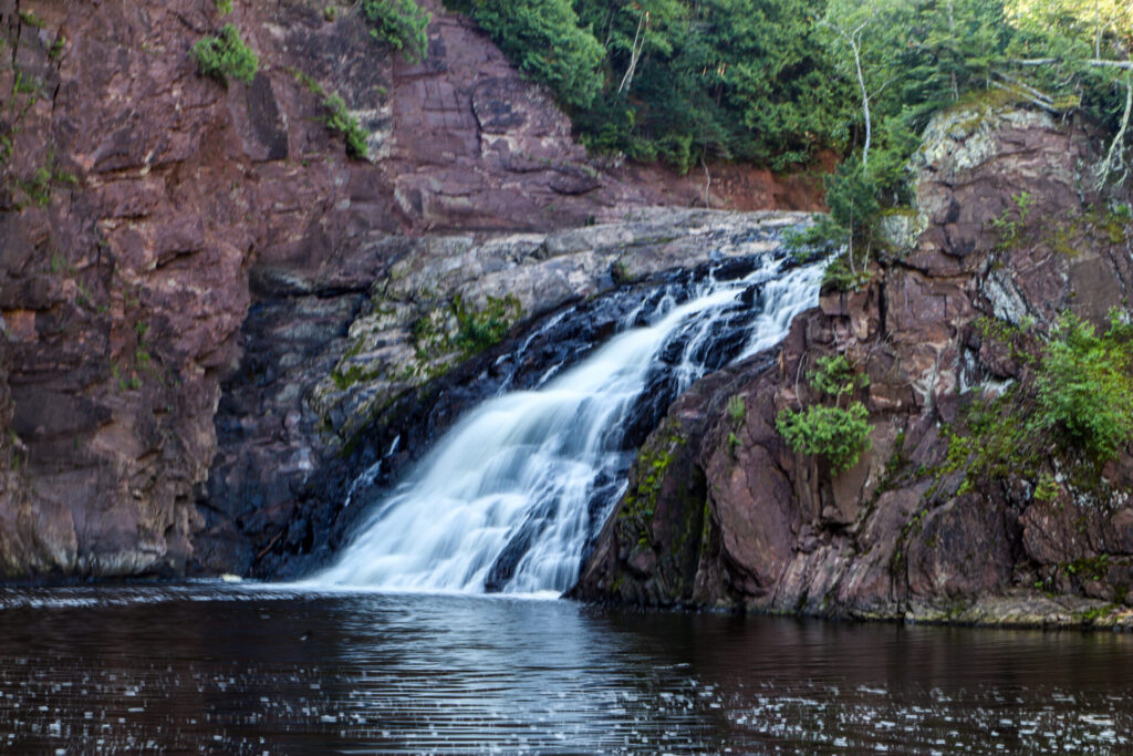
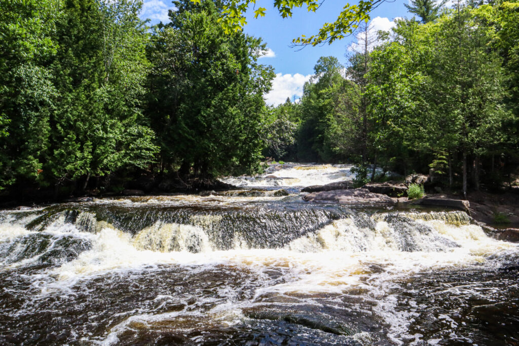
Saxon Falls
Saxon Falls is an easily accessible waterfall. It’s also on the border of Michigan and Wisconsin along the Montreal River. A dirt road will take you to the parking area. From there you’ll take a short trail along the cliff-line to an overlook of the falls from above. Saxon Falls flows a total of 90 feet down into the river below.
Only accessible from the Wisconsin side, this upper overlook trail does continue if you want to go down and get a closer look, but we chose not to hike further.
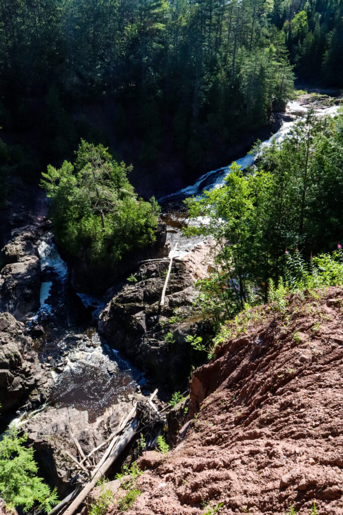
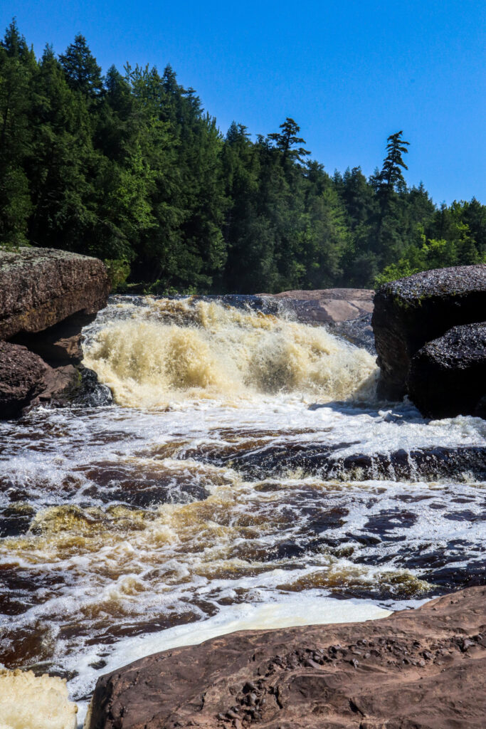
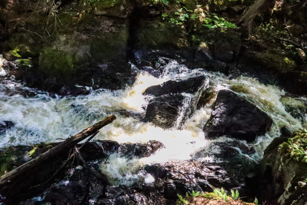
Interstate Falls
Interstate Falls is an 18-foot drop along the Montreal River between Michigan and Wisconsin. It is part of the larger set of three cascades called Peterson Falls and is also sometimes referred to as Montreal Falls.
To get to this waterfall, the access point is on the Wisconsin side. Make sure your directions take you to Center Drive, where the trailhead is located. It should be in Hurley, WI. The automatic Google Maps directions will take you to a private residence in Ironwood Charter Township, where a homemade sign will inform you that there is no falls access.
A short trail through the woods will take you to this waterfall and views downstream. The trail winds near the river, so there are plenty of views along the way.
Trail Stats
- Distance: 0.7 miles
- Elevation Gain: 55 feet
- Route Type: Out and Back
- Difficulty Rating: Easy
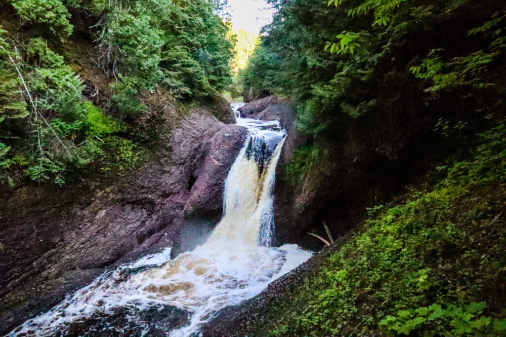
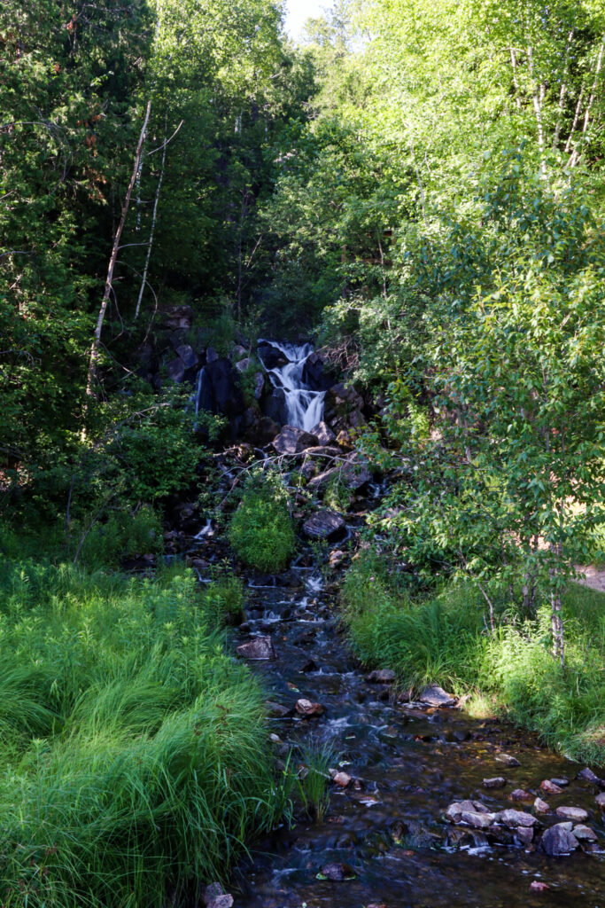
Kakabika Falls
A dirt road will take you to Kakabika Falls. This waterfall only flows down about 10 feet over a gradual cascade. This waterfall is unique and was worth the small detour from our route. However, if I had to cut one waterfall from the itinerary, it would be this one.
Trail Stats
- Distance: 0.4 miles
- Elevation Gain: 22 feet
- Route Type: Out and Back
- Difficulty Rating: Easy
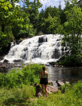
Bond Falls
Bond Falls is one of the most iconic waterfalls in the Upper Peninsula of Michigan. It is a detour from US-2 towards Bruce Crossing, MI and requires a Michigan State Parks pass. This waterfall stands at 100 feet wide and drops 50 feet. There are several viewpoints to explore, and stairs to the right of the falls will take you to Upper Bond Falls.
Up top, you can walk around and follow the water. After you’ve explored Upper Bond Falls, you’ll find a gift shop and duck pond across the street. This was a perfect spot to grab an ice cream bar and enjoy it while watching the ducks.
If you’re interested in exploring this waterfall in the winter, check out my blog post about it here.
Trail Stats
- Distance: 1 mile
- Elevation Gain: 147 feet
- Route Type: Loop
- Difficulty Rating: Easy
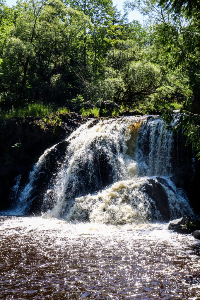
Fumee Falls
This waterfall is unique because it is one of very few that flows towards Lake Michigan. This 25-foot waterfall is in a roadside park and is very easily accessible. It can be seen from below or from a viewing platform up a flight of stairs. If you’re already headed east along this stretch of US-2, stopping here to see the falls is a no-brainer.
Map of Waterfalls in Upper Peninsula of Michigan
Find all the locations listed in this blog post on Google Maps here.
Have you been to any of these waterfalls? Or are these new ones you’ll add to your bucket list? Let me know in the comments, along with any other questions!
Liked this post? Pin it for later!
Other Blog Posts
- Michigan Weekend Trip: Adventure and Relax in East Jordan
- Best West Michigan Hiking Trails: The Story of My Senior Project
- How to Spend a Fun Morning at Tulip Time in Holland Michigan
Affiliate Link Disclosure: The symbol “*” signifies any links that are affiliate links. This means that I earn commission if you choose to buy something from these links. This comes at no additional cost to you and enables me to keep putting out content for you. If you choose not to purchase through these links, that’s fine too!